
Crown Range Road: 47 km in Otago
The Crown Range Road is a named touring highway in Otago. The governing figure used here is 47 km (NZTA / QLDC Crown Range), not a straight line between towns.
Typical time on the route is 1 day. Grade: Highest sealed road. Season window: Year-round; ice in winter.
Summit about 1,076 m. Cardrona Hotel is the stop. Not a winter shortcut if you do not like ice — SH6 via Cromwell is the all-weather option. Lookout at the top is the photo.
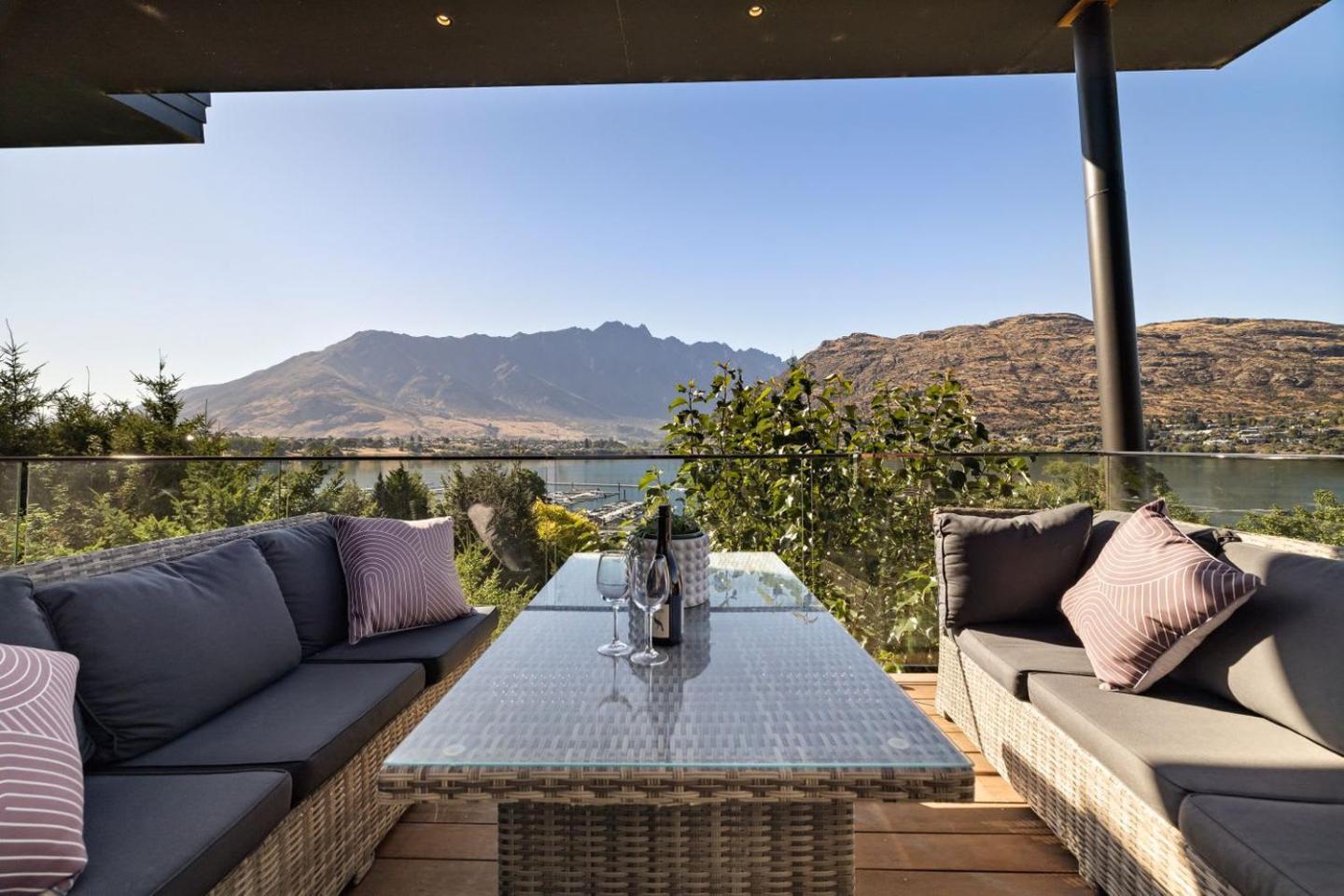
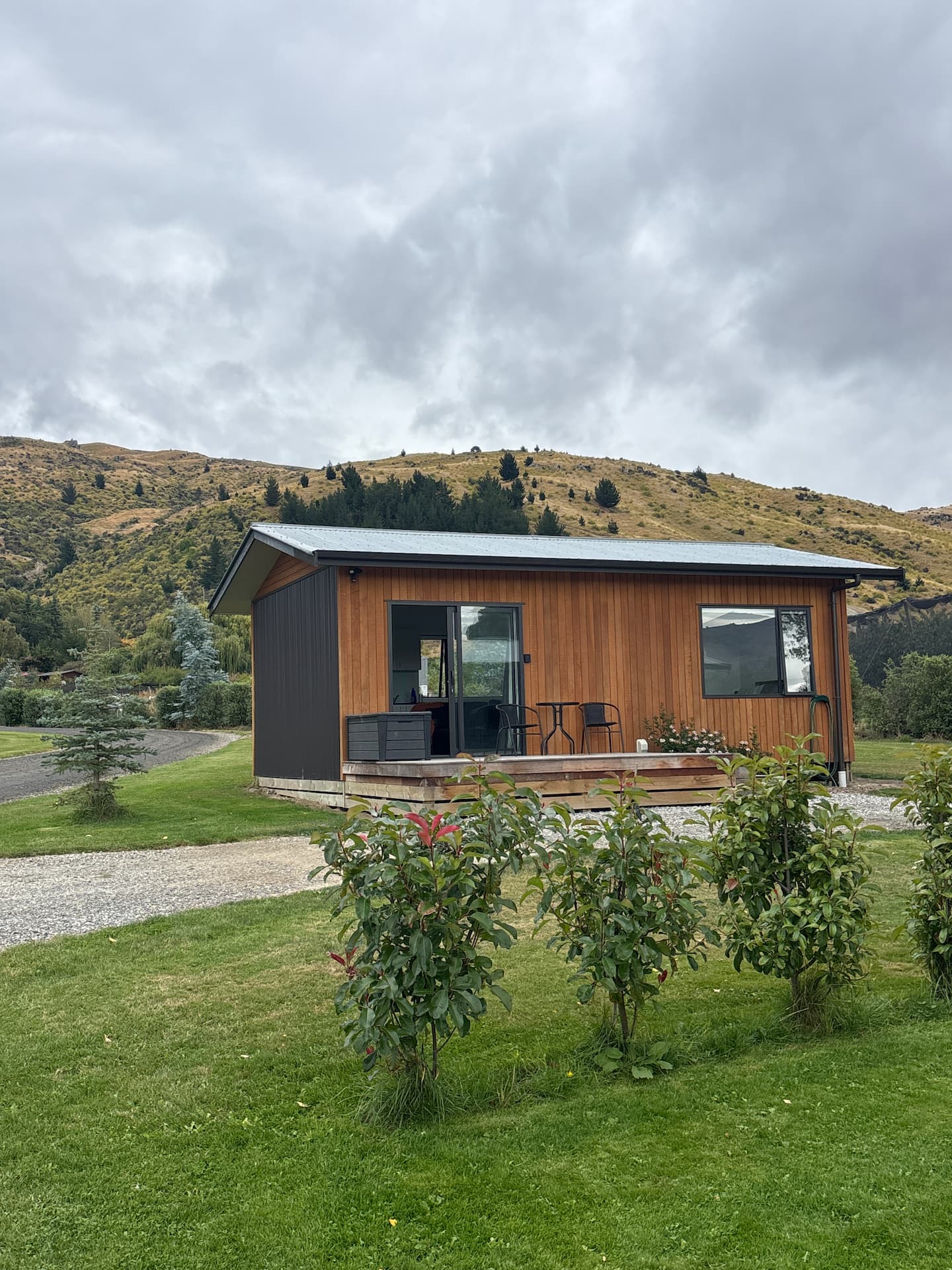
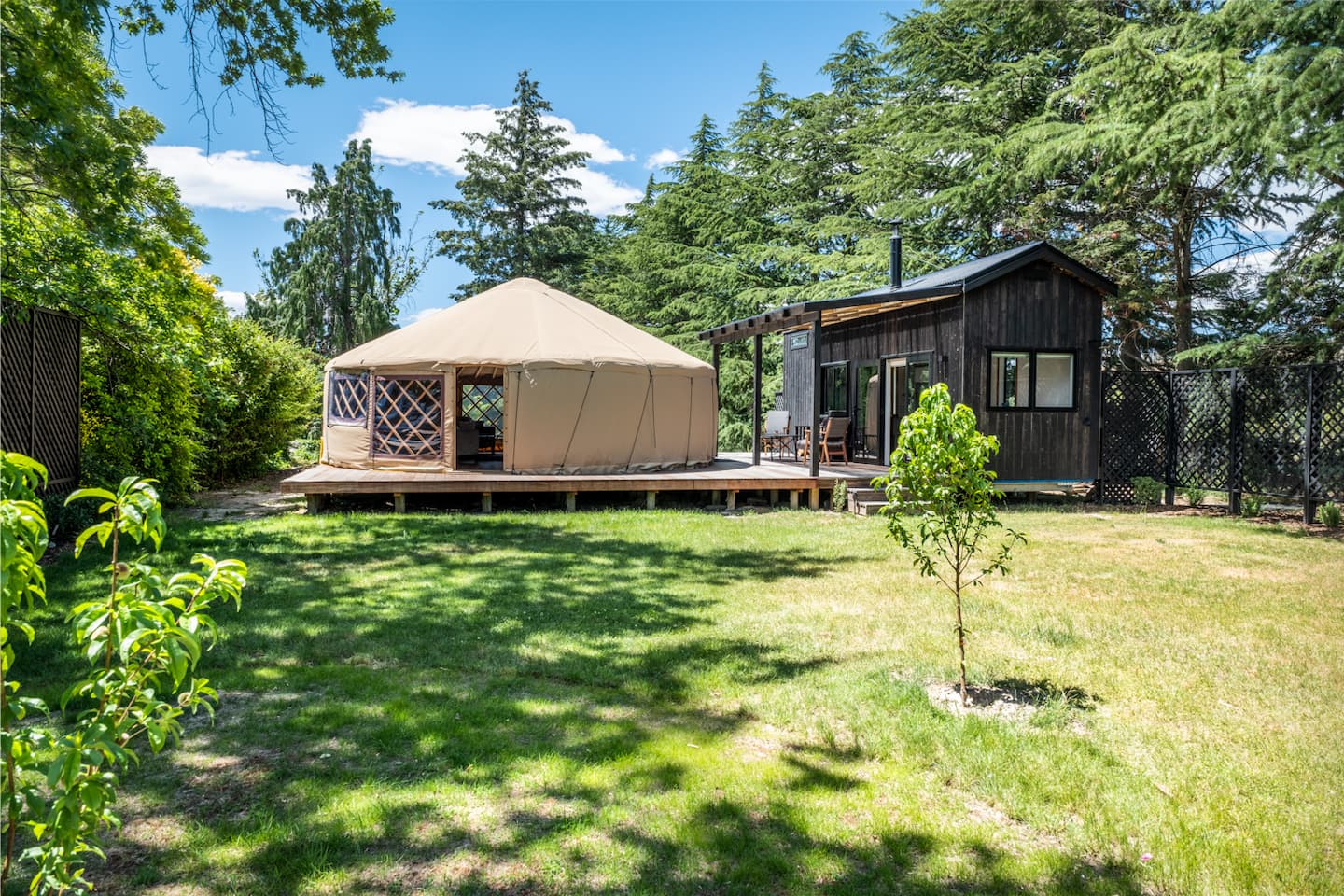
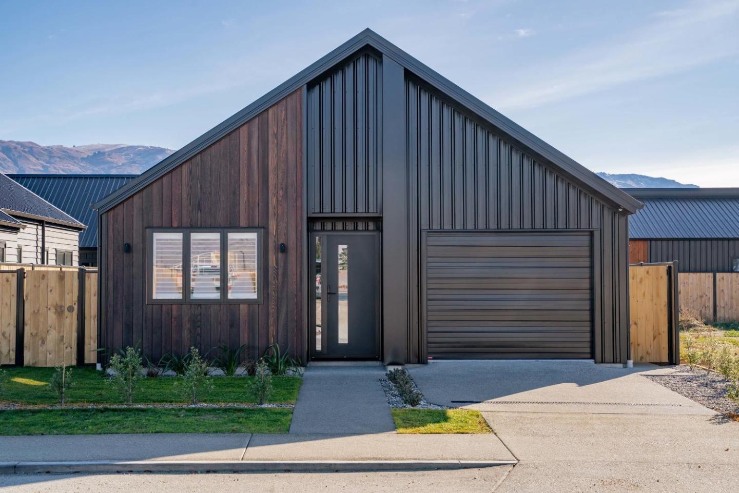
The itinerary on this page is the published stop sequence: Queenstown, Cardrona, Crown Range Summit, Wānaka. Cabins and holiday homes load live around each stop; hut and trailhead pins without a town page still search by radius.
Book DOC huts and Great Walks on the DOC system where that applies. Town beds are what this site lists. Carry the day’s food on remote legs — several of these routes have no shop between ends.
Stop by stop
Queenstown — south side. Cardrona — hotel and ski field road. Crown Range Summit — 1,076 m lookout. Wānaka — north side.
Distances, grades and seasons above follow NZTA / QLDC Crown Range. Confirm opening dates, slips and hut bookings on the operator or DOC page before you travel; alpine and West Coast tracks close or reroute after weather.